Content provided by DJI
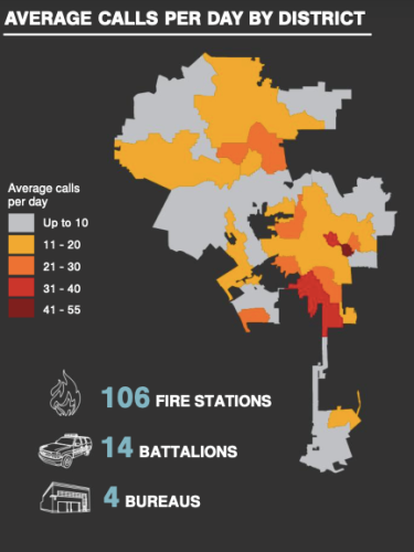
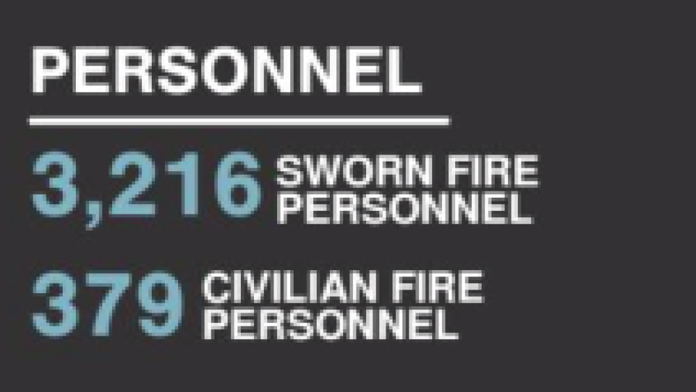
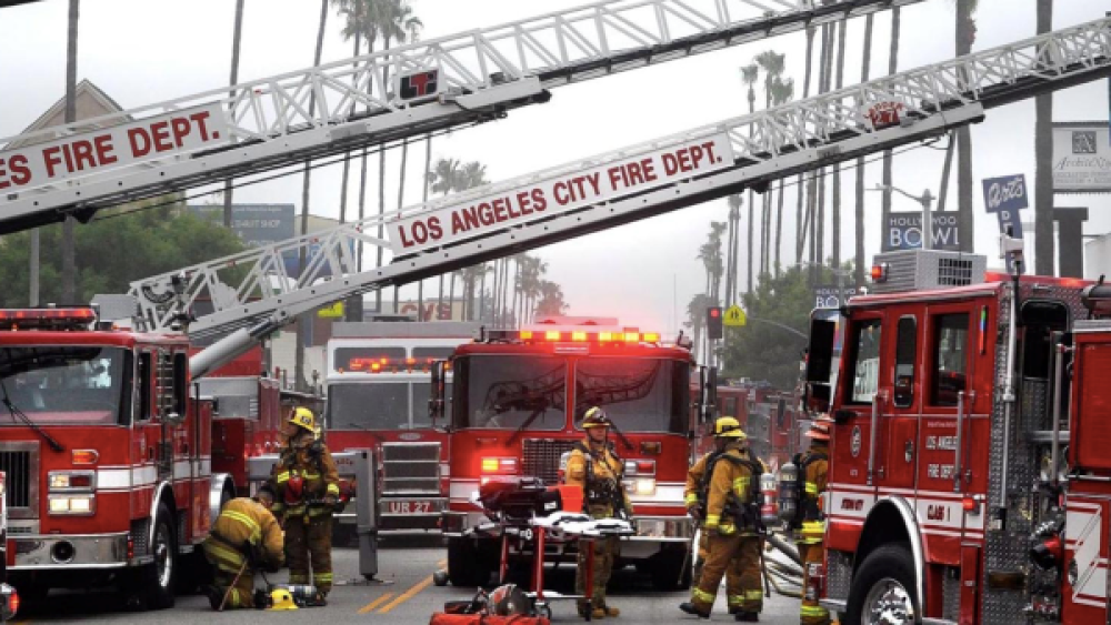
Consisting of 106 stations and more than 3,500 fire personnel, the Los Angeles Fire Department (LAFD) is a full-spectrum life safety agency protecting more than four million people who live, work and play in America’s second largest city.
Having the vision to provide exceptional protection and services to the communities they serve, the LAFD proactively explores and implements new technologies for operational advantages. It is one of America’s first major metropolitan fire departments to actively deploy drones to fight fires, improve efficiency of training and respond to high risk incidents. To-date, the agency has flown over 175 incident-related missions using DJI’s industrial aerial platforms such as the Matrice 200 Series, Matrice 600 Series, and Phantom 4 Pro drones equipped with visual and thermal imaging cameras that provide real-time video and data transmission to incident commanders.
Challenge: closing the information gap
“The real challenge that led us to drones is the information gap between helicopters and our boots on the ground. How to get real time transmission of that information to decision makers on the ground,” said batallion chief Richard Fields of the LAFD. Fields initiated the department’s drone program concept in February 2015, seeing the potential of drones in mitigating the pain point of his operation teams.
LAFD’s air operations were done by the six helicopters owned by the department at the time. The total time for a helicopter’s round trip to arrive on scene is approximately an hour. Sometimes the surrounding environment can also cause obstacles as helicopters can only fly so low, and the noises during flight makes it difficult to capture actionable intel, especially in close-range operations such as urban search and rescue and hazmat response.
Drones fill in these gaps as the perfect force multiplier in air operations. Decisions are now made with good information instead of assumptions. Easily deployable with great agility, drones can get up in the air and bring incident commanders within minutes. The real-time aerial overview enables incident commanders to make informed decisions on actions to take and resources to allocate. For exmaple, the LAFD frequently receives calls about lost or injured hikers in the Hollywood Hills. Rescues of this kind involves helicopters, ambulances and staff resources. With a drone at hand, operation teams can set it up within minutes, get visuals and thermal imagery instantly for the incident commander to know where to allocate the resources, and how to deploy staff most effectively.
“It’s how fast we can get the information in the useful forms. That is the key value of drones in emergency operations,” said Fields. Immediate actionable aerial intelligence gives decision makers enhanced situational awareness to take actions fast. For example in a recent fire incident, the LAFD officers were able to inform homes nearby to evacuate one day early after assessing the aerial data captured by drones.
Thermal vision: shorter response time in various scenarios
One of the most useful forms of information for emergency incidents is thermal imagery. Being able to pick up heat signature allows first responders to immediately identify interest points such as hotspots in fires and victims in rescue missions.
LAFD’s drone fleet is equipped with DJI’s mission operation solution including the Matrice Series drone platforms and the Zenmuse XT and XT2 thermal sensors. Thermal-enabled drones are critical to missions, cutting response time by up to 80%. In the department’s latest drill in March, two rescue groups of 50 people were assigned to a lost person scenario.
The first group operated without drones, and the second group were equipped with a DJI drone with visual and thermal sensors. It took the first group over 20 minutes to locate the victim, while for the comparison group with drones, the incident commander was able to find the victim within 3 minutes from the heat signature captured by drones.
Not only in lost person or search and rescue missions, thermal drones are also deployed in many fire incidents from structure fires to wild fires.
“During incidents, a drone with thermal vision can give incident commanders clear understanding of where the hotspots are and what needs to be distinguished. It’s able to map out 25-50 acres of burned area with a thermal camera,” said Fields.
LAFD Vision: A Safer City 2.0
One of the nation’s finest public safety departments, the LAFD has made extraordinary strides in providing emergency and non-emergency services to its communities. In the department’s strategic plans for the upcoming years, the LAFD shared its vision to continue implementing and capitalizing advanced technology.
The usage of drones is one important part of it. As Fields puts it, timely and accurate communication is essential in getting the right resources in place to mitigate an incident. The LAFD continues to capitalize on advanced drone technology to provide first responders greater awareness and access to critical information which results in safer and more effective actions.
In April 2019, the LAFD announced a Solution Development Partnership with DJI to create, test and deploy drone technology as an emergency response and preparedness tool. The agreement marks one of DJI’s largest partnerships with a fire-fighting agency in the United States and will provide LAFD with access to new technologies, training and support to incorporate innovative drone technology into its operations.
Drones are changing how government agencies serve the public in big ways and small. While drones have gained an early foothold in public safety, enterprising government agencies and departments are exploring their use in other areas, from transportation and public works to planning and environmental services. For more information about setting up a drone program and learning about best practices to consider as you evaluate how drones could help meet the needs of your community, download this comprehensive report.


